Loading ...

ULTRA-PRECISE WEATHER DATA
FOR BETTER DECISION-MAKING
MetGIS combines exact weather models and terrain data and thus creates ultra-precise forecasts. With a resolution of up to 30 m MetGIS forecasts are among the best in the world. For you this means: Better decisions, targeted actions and new opportunities.

Or call us directly: +43 (0)1 890 90 32
PRODUCTS & SERVICES
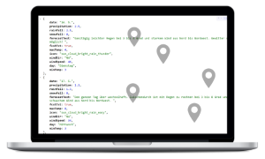
API for professional demands
Integrate weather forecasts with a resolution of up to 30 m quickly & easily into your systems. More info > Point Api >
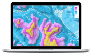
Weather layers for Google Maps & co
Embed extremely detailed weather layers (tiles) into web projects, apps and GIS. More info & demo >
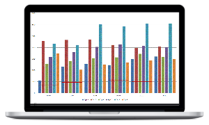
Historic weather data
We reconstruct weather data for the required coordinates or areas worldwide. More info >
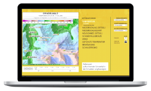
Interactive forecast map
Extremely detailed map for your particular area, 24/7 available online. Example >
Consultancy & expert opinion
We prepare expert opinions for court cases and offer consultancy for tenders & projects (meteorology, snow, avalanches, environment).
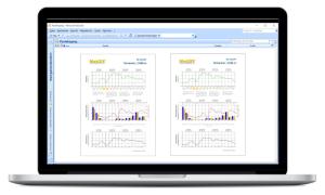
PDF weather reports via email
Receive clear reports including current and future weather conditions. Example (customizable) >
INDUSTRY SOLUTIONS

Websites, apps & info screens
Inspire your users with precise and reliable weather data (API). Info & documentation >

Winter tourism & ski regions
Benefit from exact mountain weather forecasts: Our services for a successful winter season >

Avalanche warning services
Assess the danger of avalanches, issue warnings in time and perform blasting works.

Civil protection & disaster control
Exact forecasts for better risk assessment regarding floodings, forest fires and mudslides.

Energy (solar, wind, hydro)
Forecast energy production, grid capacity and electricity price trends even better.

Road operators, railway & logistics
Plan maintenance work and snow removal, control traffic and avoid accidents. Get in touch >

Open-pit mining
Optimize your mining operations, improve productivity and employee safety. Find out more >

Agriculture & smart farming
Increase your yield per hectare, reduce crop failures and the use of pesticide and fertiliser.

Expedition teams & organizers
Consultancy, forecast maps & messages (sat phone) for better planning and less risk. Packages & pricing >
PRIVATE CUSTOMERS

Forecast maps for outdoor fanatics
Choose your forecast region from over 200 regions worldwide (Seven Summits, Himalaya, Antarctica & many more). Online shop for forecasts maps >

Weather for >60.000 European peaks
Examples: Großglockner, Mont Blanc Princess Royal's Cairn, Pen yr Ole Wen, Pizzo Dosso Cavallo, Penya del PapiolYOUR ADVANTAGES WITH METGIS

Ultra-precise weather forecasts
Resolution of up to 30 m - no comparison to conventional, less accurate forecasts!
Optimized for mountain regions
Perfect for mountainous and remote regions worldwide - thanks to extremely detailed geographical data!
Faster, more flexible and reliable
Best service: Please compare us to other providers!SATISFIED CUSTOMERS (EXTRACT)

The most successful weather and outdoor portals as well as numerous apps
Leading international corporations (energy, mining, tourism, ...)
Public institutions, universities, road operators, civil protection and many more

